01
Engineered Precision. Aerial Data Solutions For The Modern Frontier.
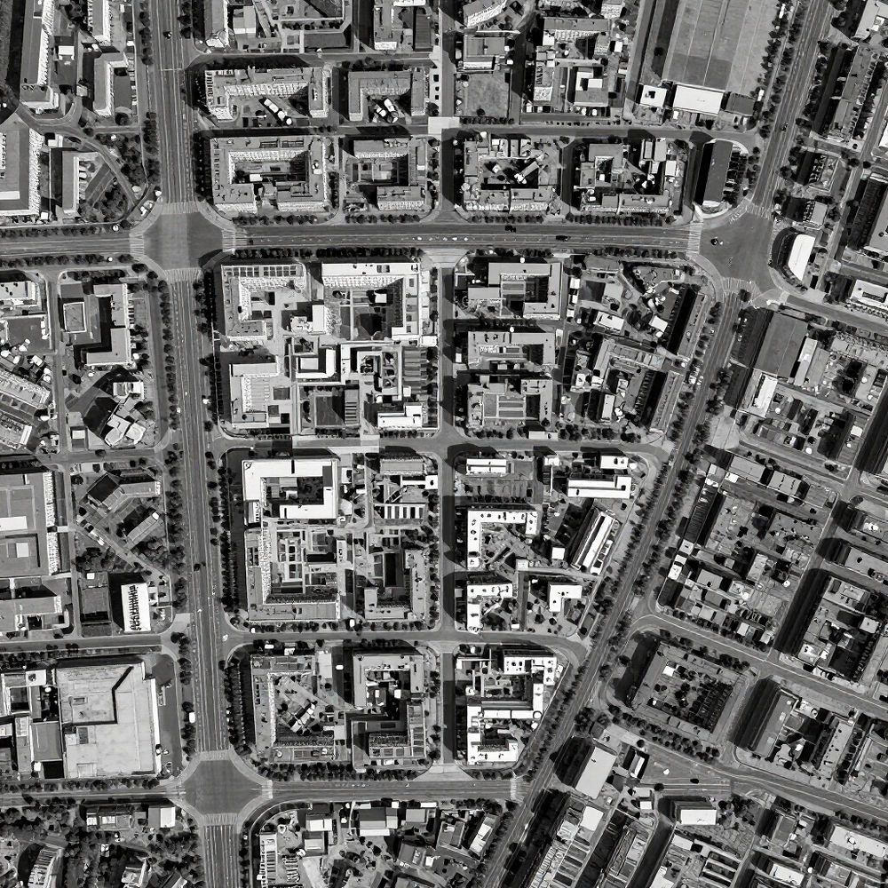
Accelerated Business Services Inc is dedicated to producing high-precision mapping and infrastructure digitization. We bridge the gap between technical data acquisition and actionable business intelligence, specializing in orthomosaic mapping and the creation of telecom 3D digital twins. Our drone-based insights provide the technical clarity required for mission-critical infrastructure projects and asset auditing.
Beyond technical scans, we deliver an artisanal eye for aerial photography and videography, ensuring every project meets the highest aesthetic and technical standards. Committed to precision and technical excellence, we provide our partners in the telecom and industrial sectors with elevated solutions that define the next generation of aerial intelligence. Our solutions are built to exceed expectations through steel-sharp accuracy and technical mastery.
Strategic Aerial Solutions
MAPPING ORTHOMOSAIC SERVICES • TELECOM 3D DIGITAL TWINS • AERIAL PHOTOGRAPHY • AERIAL VIDEOGRAPHY •


CONNECT
Elevated drone data solutions tailored for high-precision mapping and telecom infrastructure. Accelerated Business Services Inc provides actionable spatial intelligence through technical excellence. Reach out to deploy our expert team for your next aerial data mission.
PROJECT INQUIRIES
acceleratedbsi@gmail.com
ACCELERATED BUSINESS SERVICES INC — TELECOM 3D — ORTHOMOSAIC — PRECISION AERIAL INSIGHTS — ELEVATED SOLUTIONS —